|
One of the most accessible walking tracks to get into the Tararua ranges from the Kapiti Coast side, the Kapakapanui loop track provided me with an epic day walk on a recent trip to Wellington. I caught the train up to Waikanae, and from the train station it's about nine kilometres of gently undulating country road to the trail head at Reikorangi.
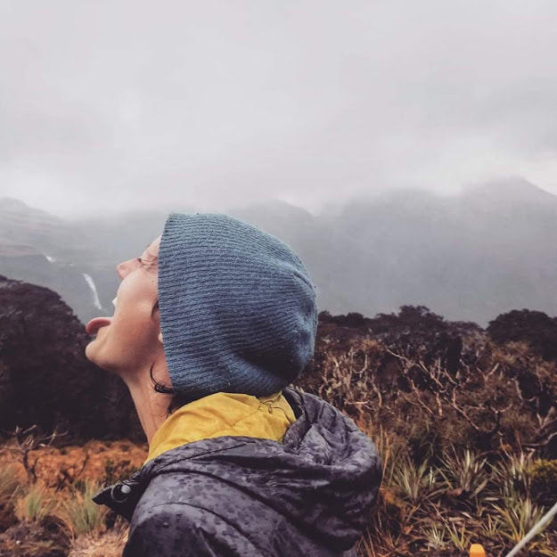
The trail crosses the Ngatiawa River (really just a stream) several times in the first 15minutes, before reaching a junction where you can choose to walk the loop clockwise or anticlockwise. The former option is the easier, and will get you to the Kapakapanui hut in about 3hours, making it a great wee spot to pop in for a night. Being a sucker for punishment, I walked anticlockwise and worked up a good sweat! The trail climbed along a pretty clearly defined ridge, gaining 1000m elevation, so the forest changes around you as you progress, with some cool patches of mountain cabbage trees as you near the bushline – whoop! I was lucky to head up on a stunning clear day, and from the Kapakapanui summit at 1102m I had perfect views of Kapiti Island, Farewell Spit and the Marlborough Sounds, and I could even make out both the seaward and inland Kaikoura mountain ranges of the South Island. I was told I had missed great views of Mt Taranaki earlier in the day. How epic!! You can also look east toward the Tararua Southern Crossing route over Mt Hector, which I would love to go back for. The eastern flank of Kapakapanui is home to gorgeous mossy beech forest, looking like something out of a fairytale, so green and cushy. From the summit there is a junction to another trail, heading to Renata hut, which I reckon would make for a sweet readily accessible entry point for longer tramps in this side of the Tararuas. I usually go walking on my own, so big trips I can do without annoying car logistics to worry about hold a lot of appeal! Dropping down from the summit to the hut is pretty easy going, and further down the hill the trail steepens to drop you back at the river in no time at all.
0 Comments
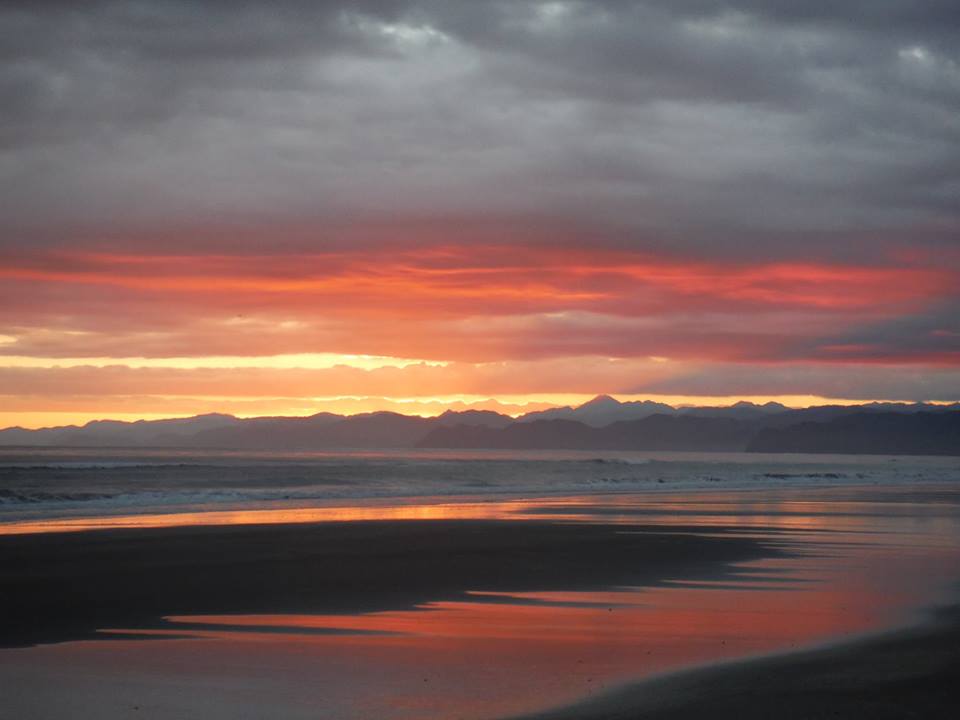
 A Powelliphanta snail I found on the trail A Powelliphanta snail I found on the trail Back at the start of this year I ran my first “mountain trail run” race, the South Island's Goat Race over the Croesus Track on the West Coast. At 26km with just over 1000m of elevation gain, it's fair to say I underestimated the course a little, and boy it was tough!! Ten months later and I am toying with signing myself up for this sucker once again, so this week I set out for a training run/walk along part of the track, to familiarise myself with what I am in for. The Croesus track itself runs for 18km across the Paparoa Range between Blackball (home to damn fine salami) in the east, and Barrytown (best live music venue on the 'Coast) in the west. The trail's history dates back to the early gold mining days of the 1860's, and was reopened to trampers in 1988 thanks to the hard work of a local NZ Forest Service legend, the late Ces Clark, namesake for the super cool Ces Clark hut below Croesus Knob. The trail is by all accounts best walked from east to west, with a lovely gentle ascent along a benched trail from Smoke ho car park to Ces Clark hut. However the race of course runs the opposite direction - I remember this section bringing me so much joy to run down, and a rad mountain cabbage tree partially overhanging the track made me break into a big grin. This week I also ran from the west (might as well get a taste for the worst of it eh!) The trail from Barrytown starts off winding up long switchbacks through lush west coast forest of Nikau palms, tree ferns and supple jack. After about 30 minutes of running the track began to remind me who's boss, climbing more steeply. From there, sections of challenging ascent alternated with mellower stretches. It felt like this went on forever, and I thought I would never reach the bushline and all the grandeur of the tops. But finally, after nearly two hours I popped out into the mist of low cloud that seems always to shroud the Paparoas. Continuing from Mt Ryall to Ces Clark hut, the trail mostly follows fairly well defined ridges and makes for great trail running. The cloud lifted and I was treated to views down the West Coast, Niaku palms and beaches, and across the Grey Valley. Feeling great! The hut is at 11.7km from Barrytown, so I appreciated the excuse for a rest stop to check it out. With great big windows on two walls, a fireplace, and platform bunks, this hut is really cool and makes for an awesome sunny lunch spot with views. It would be magic to spend a night here over winter! The return trip was pretty tough going, but the time spent above the bushline was pretty epic. For a more enjoyable run I think I would come from the Blackball side, but running from the West meant I could jump in the ocean on my drive home, which was a pretty great way to cap off a great day. For those with more time (i.e. walking!), there are a couple of side trip options including Croesus Knob and Mt Watson, and plenty of historical points of interest. A pretty cool wee track here on our door step!  Conditions I've come to associate with the Paparoas (Jan, 2016) It is a rarity for me to find myself with an actual Saturday-Sunday weekend off, because of my unusual work schedule, so when I realised I had one coming up in October, I mentioned to one of my friends that I was hoping to get out tramping, and might she be interested? She was keen, so plans began brewing... As the time neared, plans chopped and changed, and in the end we set out for Griffin Hut, at the suggestion of her tramping buddy Scott, who joined us one our mission. Although it is a Department of Conservation hut, the tracks are maintained by volunteers, so we thought there was a good chance we would have the hut and it's fire bath to ourselves, and were all quite excited at the thought. We walked in via Rocky Creek, starting out from an un-marked trailhead near the Taipo valley track, near Jacksons (So... generally, West of Arthur's Pass). The first part of the morning we followed a forested track overlooking the Taipo river, before dropping down into Rocky Creek. From there on we followed the creekbed until lunchtime, startling many goats - or the same goast many times, we couldn't quite figure it out - and navigating boulders and tree-fall. We reached Rocky Creek Hut at lunchtime, nestled amongst Mountain Cabbage trees (Cordiline Indivisa). If you haven't seen this tree, it's a total babe, so I was pretty happy to be gazing out the window at these as we boiled the billy for a cuppa and sheltered from some light rain. Ahhhhhh...  We followed the creek for awhile longer before the track wandered into the bush again. We loved the cute signs directing us on our way, complete with a wee cartoon hut scratched into permolat. As we neared the hut we were getting pretty excited, and there were some gorgeous Weeping Matipo (Myrcine divericata), elegantly draping it's branches along the side of the track - wowee. We wondered whether anyone else would be there, but hadn't seen any cars at the trailhead and hadn't had the earliest of starts, so were hopeful. Finally we made it, only to see smoke coming out of the chimney and two packs sitting outside. Damn!! It turned out there were in fact three parties at the four-bed hut that night, eight people in total. We couldn't believe it, as not a soul had visited in three months, according to the hut book. Luckily one group had come prepared to camp, and so we just had to accept that if we wanted a bath we would have six or seven-hand water. Sounds dubious, but shit it was divine!! The hut itself is a super cute ex-Forest Service with lots of old relics, and a communal “hut towel” for the bath. It's pretty twisted how your hygiene standards become in the bush... Yes, we all used it. The door to the hut was hand painted with kiwis, a tree, and a naked woman, and there's a big open fire we cooked over, it was so gooooood. We walked out the shorter route out via Harrington's Creek. After a wee bit more stream bed travel it was a grunty uphill to the Wilson Knob turn-off, before a steep descent to the road. I mean proper steep. This must make for quite a grunt heading up! We got back to the main road in glorious spring sunshine, only to realise I'd left my car keys in Ingrid's car, just when I thought we'd saved ourselves a walk along the roadside to the other trailhead, bugger!!
|
I am a conservation field worker in New Zealand. I love mountains, sunrises, river swims, barefeet, cold beer, campfires, live music and whiskey.
Archives
April 2020
Categories
All
|


 RSS Feed
